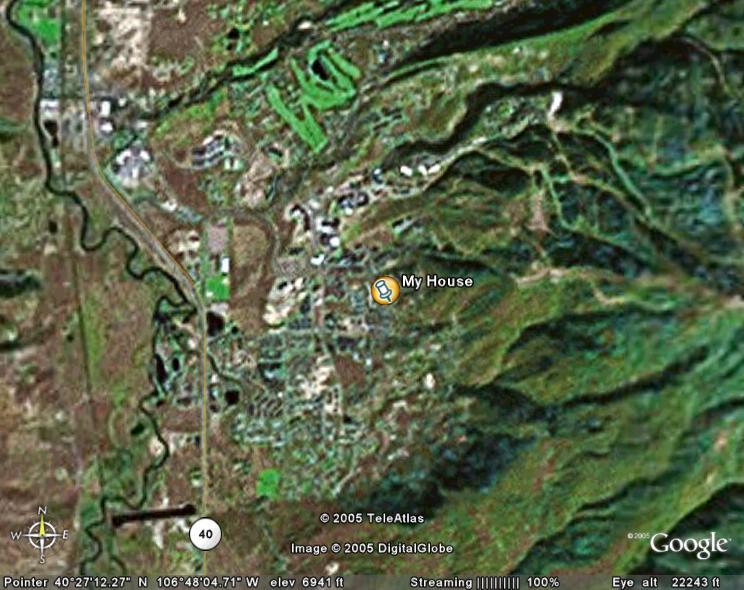
Let me try to give you a feel for what this can do. First, let's start with bringing up a satellite image of where I live.
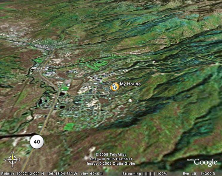
That's cool, but we've been able to do that online for five or six years. Where it gets interesting is when we start to tilt the view to get three dimensions.
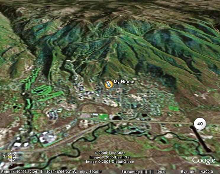
Or rotate it to see the ski mountain behind my house.
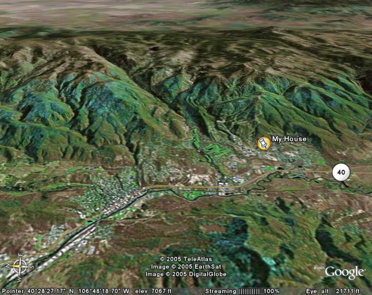
We can zoom out to get a complete view of Steamboat Springs.
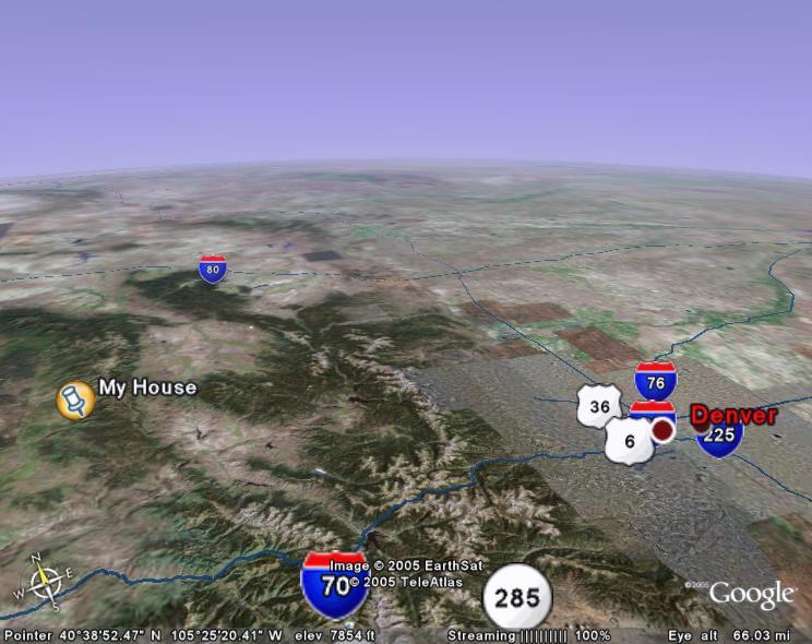
We can zoom out even further to see where I am in relation to Denver.
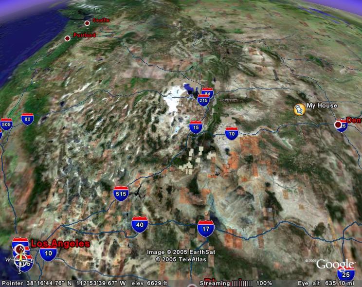
Let's see where I am in the western United States.
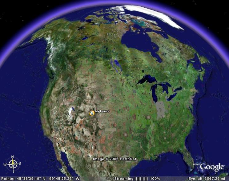
Finally, here's we I am in relation to the entire North American continent.
As impressive as that is, it doesn't capture the dynamic nature of the program. I can plug in another location, such as my parent's house, and it will give me a 3D view of flying across the Pacific to a small town in south-eastern Tasmania.
No comments:
Post a Comment